


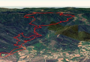
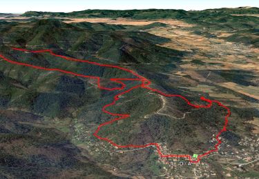
18 km | 26 km-effort


User GUIDE


FREE GPS app for hiking
 SityTrail
IGN / Geographical institutes
SityTrail World
The world is yours!
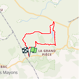
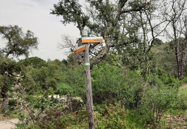
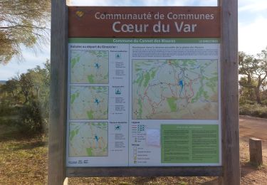
Trail Walking of 13.2 km to be discovered at Provence-Alpes-Côte d'Azur, Var, Le Cannet-des-Maures. This trail is proposed by lhomme.ph.
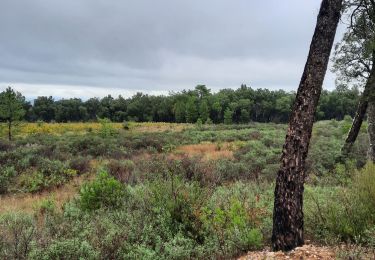
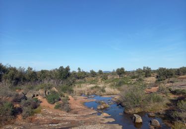
Dans la plaine des Maures, bastion de la tortue d'Hermann, la nature compose de petits jardins que l'on croirait sortie de l'imagination d'un maitre japonais.
A FAIRE AU PRINTEMPS
Walking
Walking

Walking

Walking
Walking
Walking
Walking
Walking
Walking